News
Weather Changes Ahead: Fall Temperatures Expected Next Week
TALLAHASSEE, Fla. (WCTV) – The region is experiencing pleasant weather as August comes to a close, with cool mornings and dry afternoons. Residents can expect another enjoyable day Thursday, with temperatures reaching the upper 80s to low 90s and less humidity in the morning.
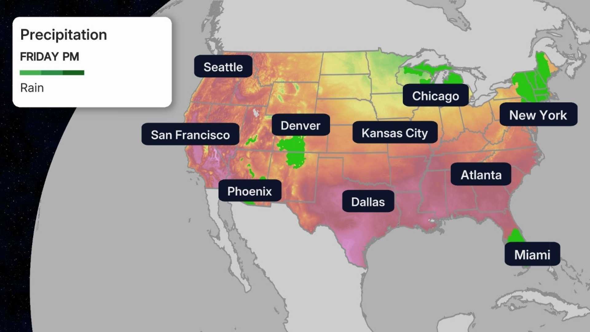
However, by Friday, a frontal boundary will bring back showers and storms, introducing more tropical moisture. This system is predicted to linger through the weekend, increasing rainfall chances. Morning lows will feel muggier in the 70s, while afternoon highs will remain in the middle and upper 80s.
Looking ahead to Labor Day, forecasters suggest that rain chances will increase during the afternoon, but it will not be a complete washout. Highs are forecast to reach the mid-80s.
As we dive into next week, significant changes are on the horizon. An upper-level low will move south from Canada, leading to a cold front passing through Wednesday afternoon. This may bring scattered showers and possibly even thunderstorms.
The standout change will be a drop in temperatures, as highs on Wednesday are expected to only reach the lower 70s to upper 60s. Following this, Thursday’s highs might not exceed the lower 60s, and there is potential for overnight lows to dip into the 30s, which could pose a risk for early-season frost.
Weather enthusiasts are advised to keep a close eye on these developments as forecasts continue to evolve and monitor conditions through the week.


