News
High Pressure Brings Choppy Conditions to Treasure Coast
WEST PALM BEACH, Fla. — A strong area of high pressure is causing choppy marine conditions along the Treasure Coast and Palm Beaches. The high pressure system has created a stiff onshore breeze, leading to rough surf and dangerous rip currents.
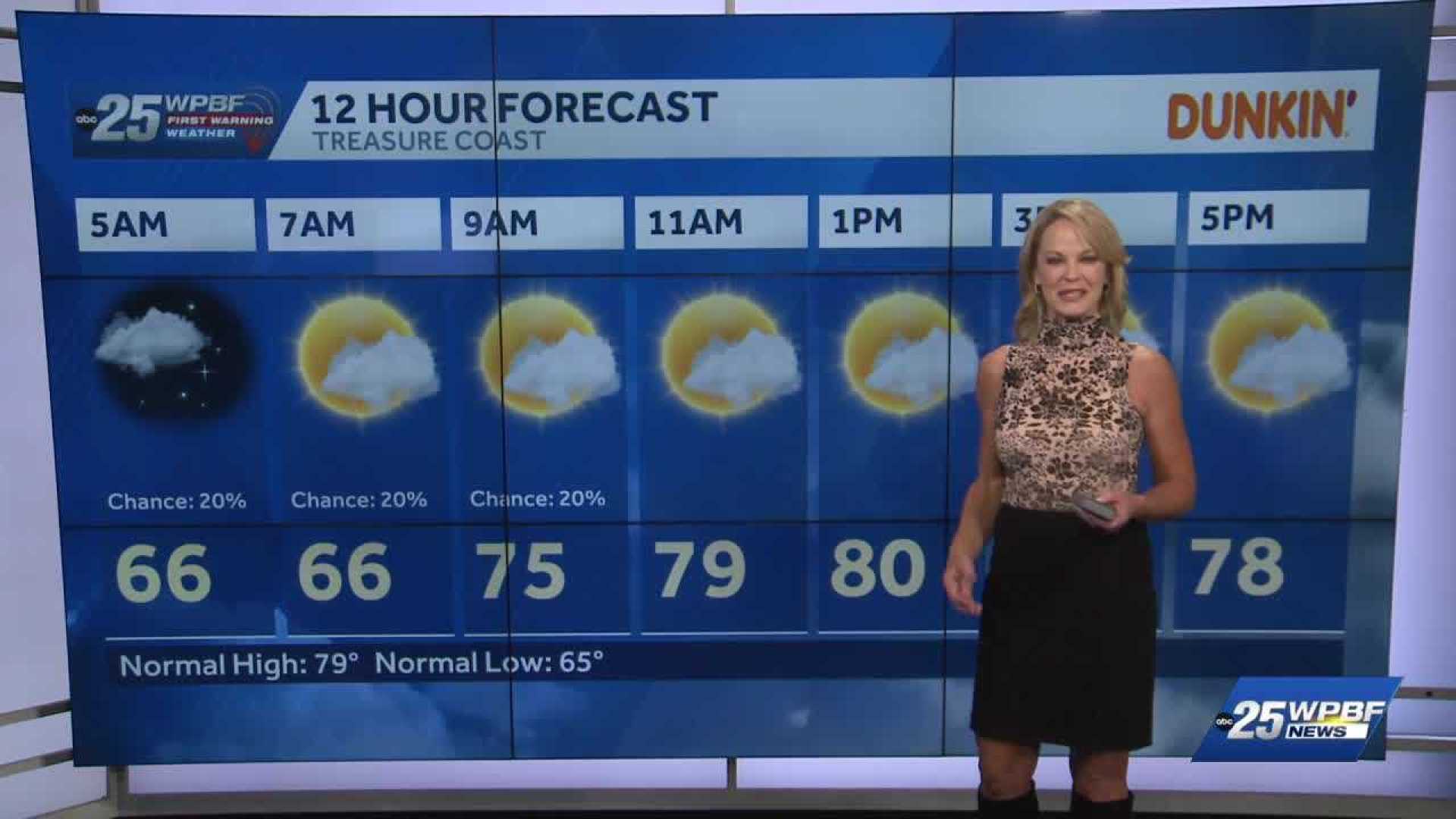
Despite a little moisture returning to the region, widespread rain is not expected. Most of the area will remain dry, with only isolated showers possible today and on Sunday. Wind gusts are forecasted to reach 25–30 mph throughout the day.
On Sunday, the breezy conditions are expected to continue, though winds will lighten slightly. A front is expected to stall north of Florida early in the week, which may boost moisture levels. Coastal areas are likely to see isolated to scattered showers.
The best chance for rain in the region will occur on Tuesday, as another cold front moves through the Florida peninsula. Following this front, cooler and drier air will enter the area.
Temperatures are expected to drop to seasonal norms, with highs in the upper 70s to low 80s and lows dipping into the 50s inland and 60s near the coast. Midweek conditions are anticipated to become calmer, featuring comfortable humidity and sunny afternoons.


