News
Cool Weather and Hazy Skies Persist Across Greater Boston
BOSTON, Mass. — Temperatures around Greater Boston climbed to the low and mid-70s on Tuesday, impacted by elevated wildfire smoke lingering in the region. Some interior areas reported highs near 80 degrees, but overall, the day was cooler compared to Monday.
On Wednesday, the forecast predicts another cool day with mostly cloudy skies and continued haze. Coastal areas, including Boston, can expect temperatures reaching the upper 70s. Central and western New England may experience a few sprinkles or afternoon thunderstorms, but Boston should remain dry.
The weather is influenced by a weak disturbance between a departing high-pressure area and another moving in from the north. This could create vertical air movement in western New England, leading to showers and isolated thunderstorms starting late Wednesday morning.
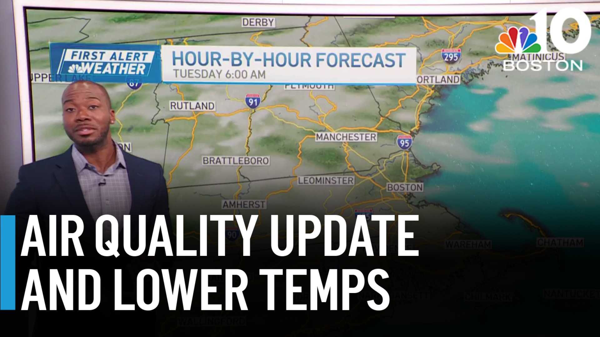
Air quality alerts remain in effect across parts of New England, especially west of Worcester and in New Hampshire, due to the ongoing wildfire smoke. Those who are sensitive to air quality should take precautions. The heaviest smoke is expected in western New England.
As for the ocean, beaches may see larger waves on Wednesday due to energy from Tropical Storm Dexter, generating waves between two and five feet high. Beachgoers are advised to watch for rip currents and heed safety warnings.
This week will offer a break from excessive humidity, with dew points ranging from the upper 50s to low 60s. Overall, much of Greater Boston is anticipated to remain under hazy skies with highs around the upper 70s and lows in the low to mid-60s at night.
“We continue to monitor the air quality, and slight improvements are expected,” said a regional meteorologist. “However, the haze will linger, keeping conditions cool for a bit longer.”


