News
Flood Watches Issued as Rain Hits Georgia and Colorado
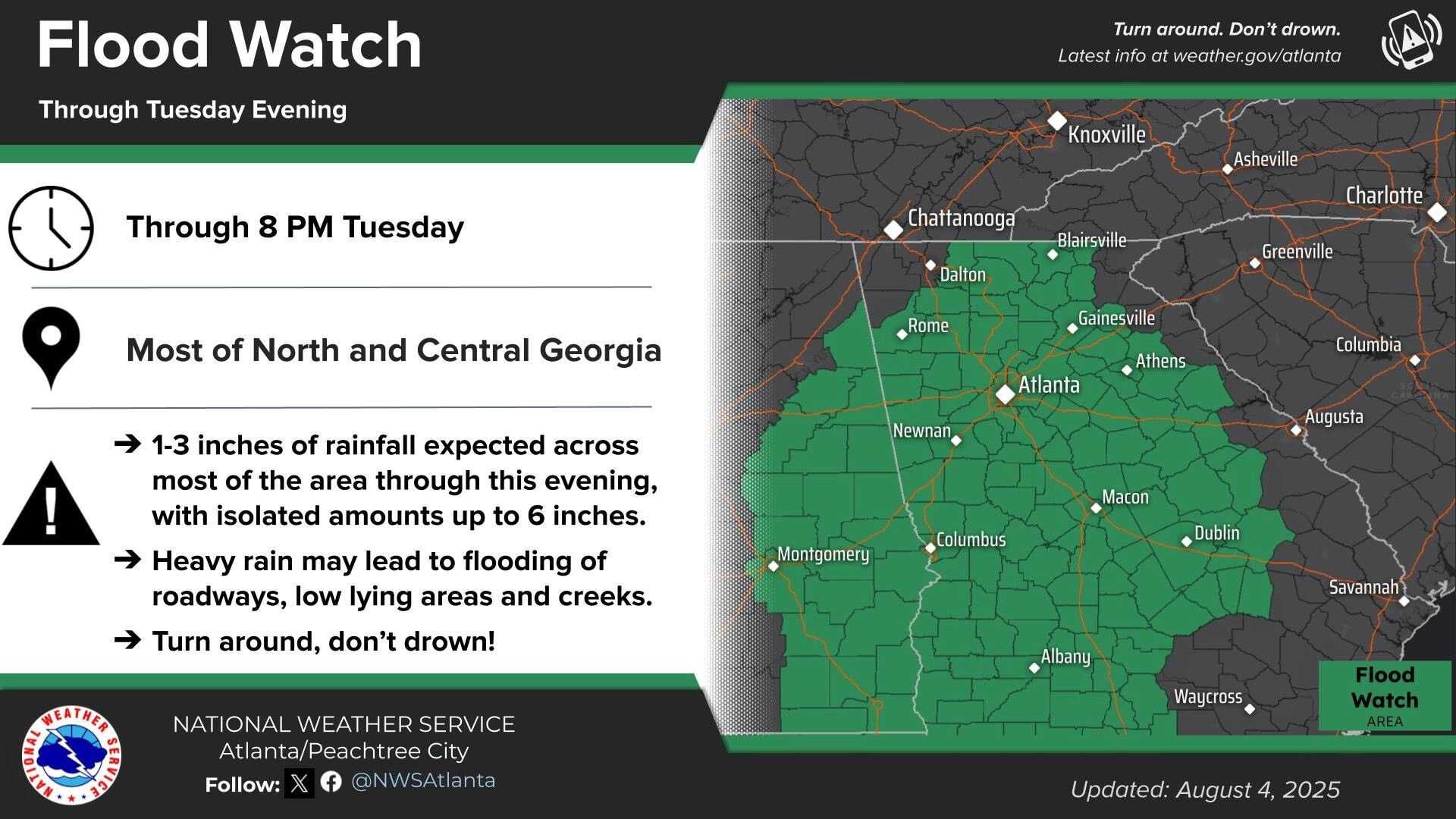
ATLANTA, Georgia — Much of northern Georgia is under a flood watch as moisture flows in from the Gulf. The National Weather Service has extended the flood watch for several counties, effective until 8 p.m. on Wednesday.
Severe Weather Team 2 Meteorologist Eboni Deon says scattered rain is likely, along with potential storms during the day. While the chance of rain will decrease later in the week, cooler temperatures and cloud coverage are expected to persist.
“Today will be mainly cool and cloudy, with overnight lows dropping to the mid and upper 60s,” Deon said.
In Southern Colorado, a separate flood watch takes effect today at 1 p.m., lasting until 10 p.m. The National Weather Service in Pueblo warns of strong north winds following a morning cold front, which will increase moisture and lead to showers in the mountains. Rain is not expected to reach Interstate 25 until late afternoon.
Forecasts indicate possible heavy rain, particularly in the Pikes Peak Region, where urban flooding could occur. Colorado Springs is expected to see a high of 80 degrees with a low of 54, while Pueblo may reach 88 degrees, below the seasonal average.
Further south, Canon City will experience cooler temperatures with a high of 85 degrees and potential thunderstorms this afternoon. Woodland Park expects a high of 73 degrees, with rain predicted to develop by early afternoon.
In the Tri-Lakes area, temperatures will remain in the 70s, with afternoon showers likely. Walsenburg and Trinidad should also prepare for slow-moving storms and heavy rain.
The flood watch will remain effective across southeastern mountains today, with storms anticipated to develop by early afternoon, ending around sunset. Although flood threats may lessen by the weekend, localized flooding remains a concern through Friday.


