News
Severe Weather Expected Today in West Palm Beach
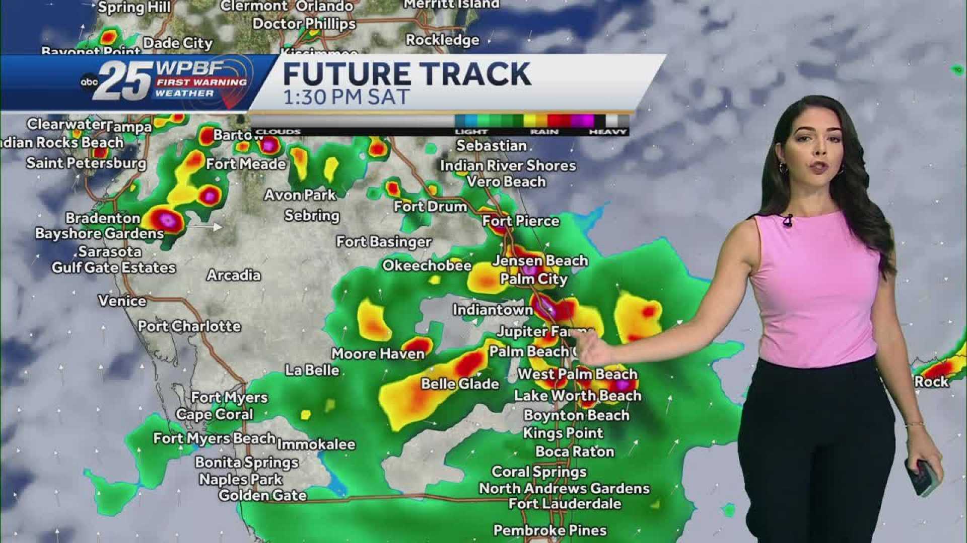
WEST PALM BEACH, Fla. — As a cold front stalls to the north, a tropical system approaches from the south, prompting scattered showers and thunderstorms this afternoon.
The region is under a Level 1 Marginal risk for excessive rainfall today. Heavy rains, gusty winds, and lightning are possible with some storms. High temperatures will reach near 90, with a heat index of 100-105 degrees before rainfall begins.
Tonight, skies are expected to clear, with temperatures dropping into the mid-to-upper 70s. Rain chances will shift to the morning and early afternoon tomorrow, driven by a southeast wind. Showers and storms are anticipated to move in from the coast, increasing the risk of rip currents.
The forecast also notes that Saharan dust will arrive on Friday, leading to a dry weekend with hazy sunshine. A weak low-pressure system is developing along a stalled front off the northeast coast of Florida and Georgia. This system is set to drift westward towards Texas, where the National Hurricane Center warns of a low chance of further development.
Additionally, a tropical wave is located just south of the Cabo Verde Islands, with models suggesting it may briefly develop.


