News
Winter Storm to Impact Huntington This Evening
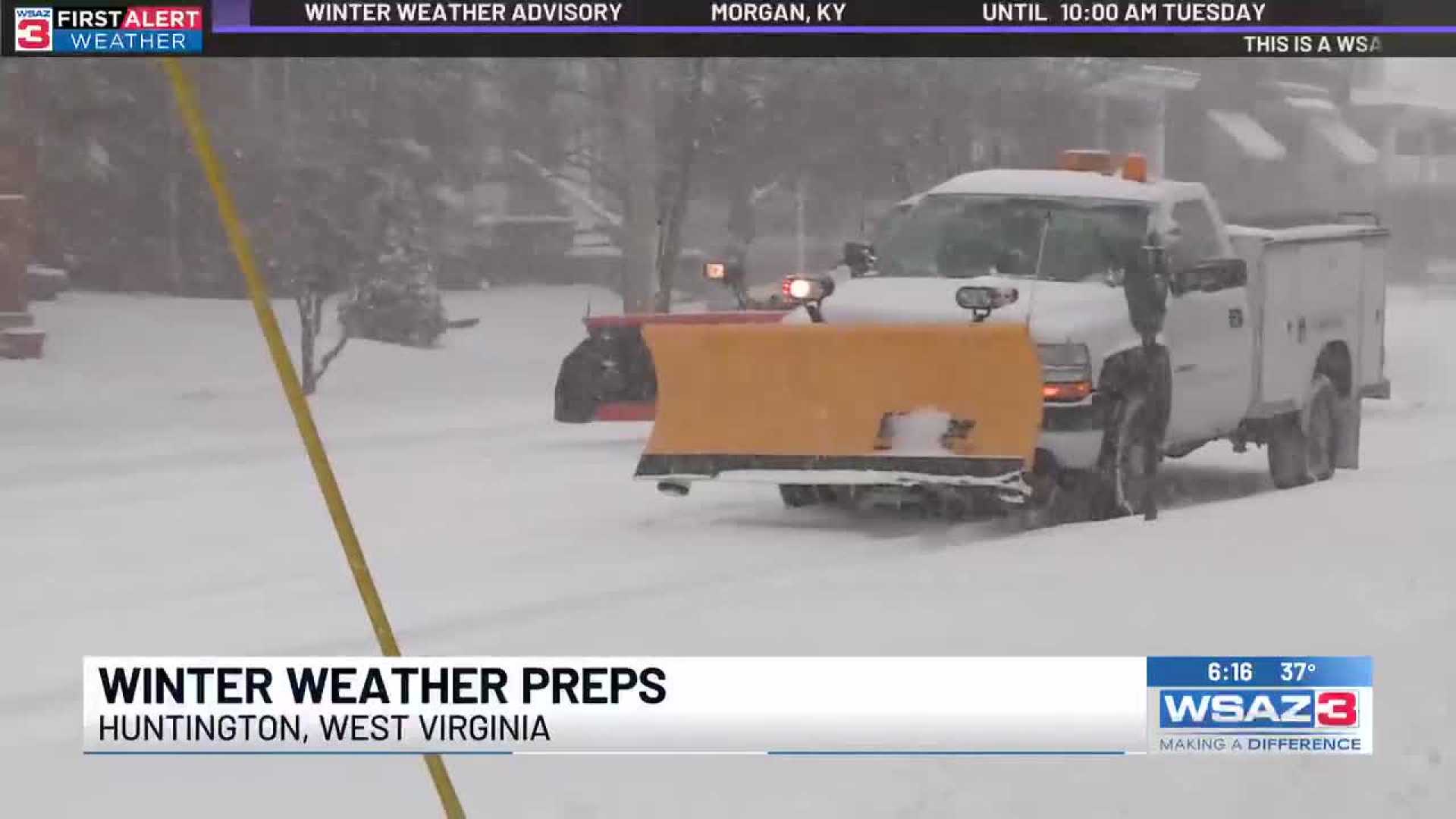
HUNTINGTON, W.Va. (WSAZ) – A winter storm is set to affect the Huntington area starting tonight and will continue into the morning commute. While some regions may face significant disruptions, others are expected to see less impact from the weather system.
A wedge of warm air is forecasted to move into the lowlands, particularly affecting Interstate 79 and US Route 119 corridors. In cities like Charleston, Logan, Pikeville, and Sutton, residents can anticipate mostly rain.
In contrast, light icing and a few inches of snow will hit areas along I-64 from Grayson to Huntington. Similar conditions are predicted for Richwood, Summersville, and Fayetteville.
The heaviest snowfall is expected in southern Ohio, where residents from Portsmouth to Athens may see 3-4 inches of accumulation.
Conditions are expected to improve by the afternoon and evening, with drier weather heading into the weekend. However, forecasts indicate that a cold and snowy pattern could persist throughout December.
“We’ll need to buckle up for what’s ahead,” a meteorologist emphasized during a recent update.
The First Alert Weather Day is set for Tuesday, according to Dillon Gaudet, who joined Shannon Litton on the WSAZ NOW Desk.


