News
Winter Weather Advisory Issued for Western North Carolina
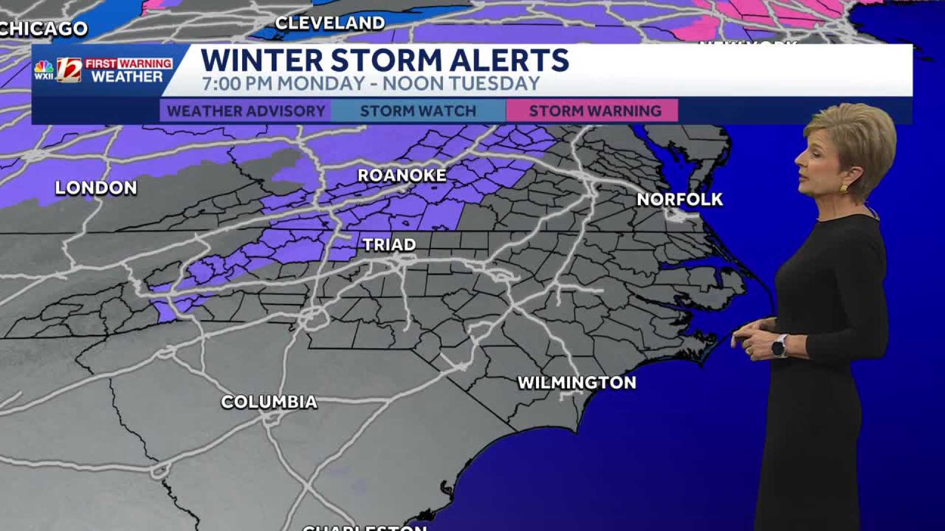
ASHEVILLE, N.C. — A Winter Weather Advisory is in effect for parts of western North Carolina starting Monday night and lasting through Tuesday morning. The National Weather Service warns that freezing rain could lead to slick road conditions.
The advisory, which begins at 7 p.m. Monday and continues until 10 a.m. Tuesday, covers Avery, Buncombe, Henderson, Mitchell, and Yancey Counties, as well as the Burke, McDowell, Polk, and Rutherford Mountains. Residents in these areas are advised to limit travel due to the potential for black ice.
Forecasters expect a storm system moving up from the Gulf Coast to bring cold rain and pockets of freezing rain, especially in the northern mountains. Locations such as Burnsville and Mt. Mitchell may see ice accumulation of up to a tenth of an inch.
The Weather Service warns that hazardous conditions could develop overnight, particularly on bridges, overpasses, and untreated roads. Power outages could occur in areas with heavier ice accumulation.
By midnight, road conditions may become slick in higher elevations outside the advisory. However, temperatures are expected to rise slightly overnight, with most areas above freezing by 7 a.m. Tuesday.
Observers noted light freezing rain in the Asheville area Monday morning, serving as a precursor to the winter system expected overnight. Forecasters predict that most of western North Carolina will experience cold rain, but icy conditions may persist in the northern and eastern Blue Ridge regions.
As this weather system exits Tuesday afternoon, colder winds may shift any remaining precipitation to snow or rime ice along the Tennessee border, with flurries expected to taper off by sunset. Nighttime temperatures are set to drop into the upper teens and lower 20s.
Looking ahead, another round of unsettled weather, including potential freezing rain, may develop again by Friday.


