News
Monsoon Moisture Set to Impact Arizona’s Weather This Week
PHOENIX, Ariz. — A low pressure system forming off the coast of Baja California is about to transform the weather in Arizona. This system, shifting northward, is expected to bring a short burst of monsoon moisture over the next few days.
The storm activity will primarily affect southeast and eastern Arizona, with the Phoenix Valley also in line for potential rain starting Wednesday. The best chance for rain in metro Phoenix is anticipated on Thursday, when the likelihood of storms jumps to 40%.
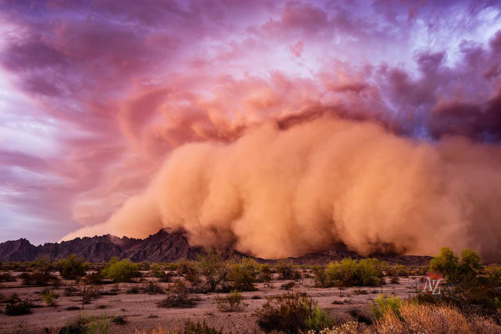
On Wednesday, residents of Phoenix might initially experience blowing dust, with a 30% chance for storms lingering into the night. Meteorologists suggest that certain areas in the southwest and northeast parts of the Valley are likely to receive measurable rainfall. Meanwhile, conditions in central Phoenix may remain drier.
Looking back, July 14 marks the anniversary of a significant weather event from 1975, known as the “Bastille Day Storm,” which led to severe flash flooding in the Sedona–Oak Creek Canyon region.
In a related forecast update in Tucson, hot temperatures are continuing with expected highs around 105 degrees. A Blowing Dust Advisory has been issued for Cochise, Graham, and Greenlee counties due to afternoon storms. The chance of rain is set to increase midweek with expected thunderstorms and temperatures cooling slightly to the mid-90s by then.
The National Weather Service advises caution due to possible blowing dust and strong winds accompanying the storms.
As residents prepare for these weather changes, updates on the forecast will be essential in navigating the potential impacts of the upcoming weather system.


