News
Severe Weather Risk Low as Pop-Up Storms Hit Southern Regions
LUBBOCK, Texas – Isolated showers and thunderstorms developed across the region on Monday afternoon due to southeasterly winds bringing moisture from the Gulf. As of 3 p.m., the severe weather threat remains low, with heavy rainfall being the primary risk, potentially leading to localized flooding.
Storms are expected to taper off around 10 p.m., paving the way for calm conditions as Tuesday arrives. Morning low temperatures are projected to be in the 60s, with south winds blowing at around 10 mph.
Looking ahead, models suggest that while winds may shift to a southeasterly direction on Tuesday, significant storm development is unlikely within the viewing area. However, areas southeast of the Caprock could see some shower activity, particularly as temperatures climb towards a high of 90°F.
In Nashville, Tennessee, high humidity levels are complicating the weather as pop-up storms are anticipated throughout the afternoon and evening. The high today stands at 92 degrees, with feels-like temperatures approaching 100 degrees. Though a few storms may gain strength and produce damaging winds, the overall risk remains low.
Meanwhile, in Michigan, a cold front is bringing rain, mainly affecting southern counties with thunder heard this morning. The daytime highs are expected to reach the low-to-mid 80s, with a risk of isolated severe weather, including strong winds and hail.
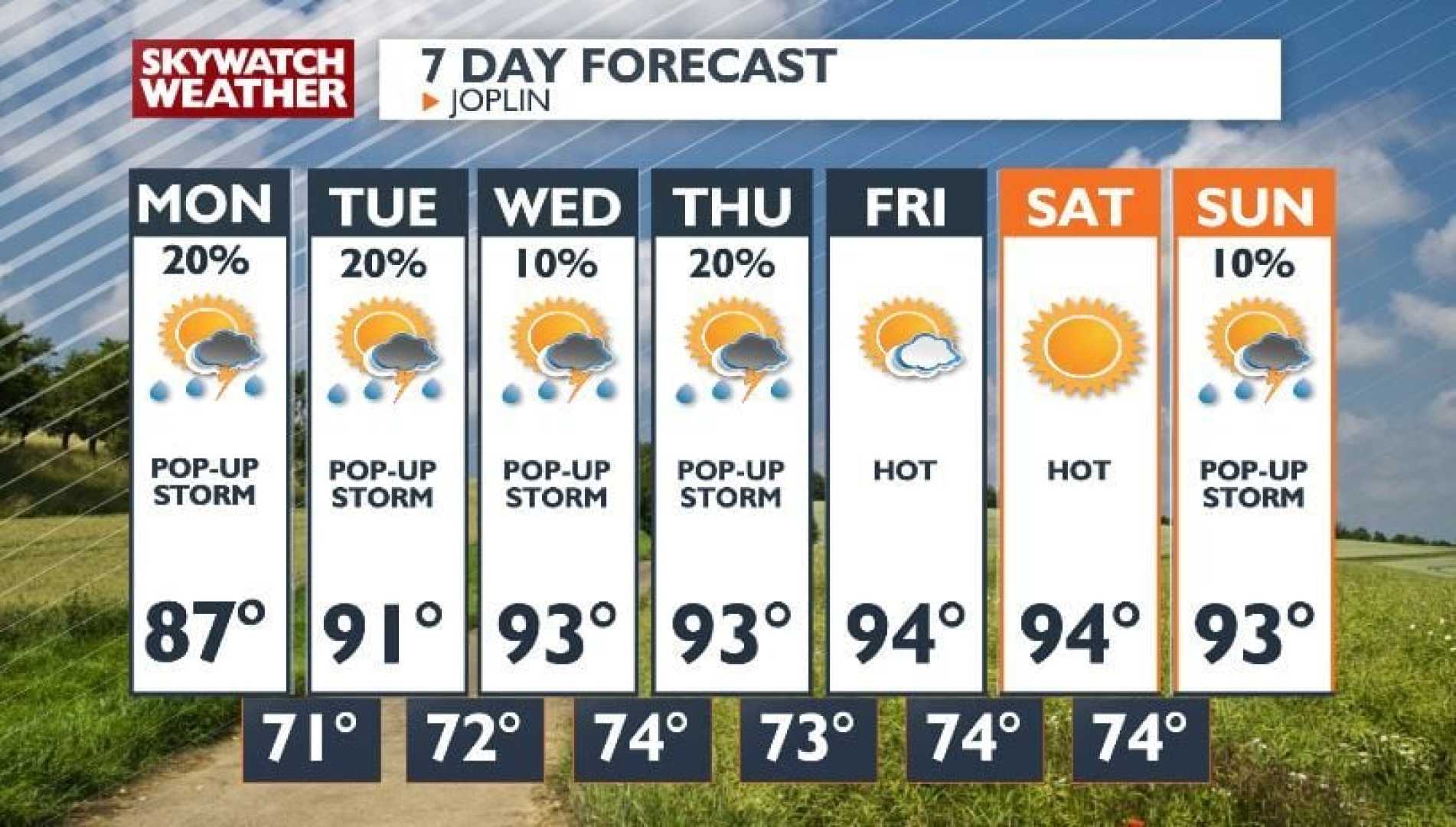
As for the Mid-South, forecasts show a continued risk of pop-up storms with rains expected to fall sporadically through next week, mostly in the afternoons. Despite this, the overall severe weather risk is minimal, and temperatures will remain within average ranges into the following days.
For weather-watchers, it’s essential to stay updated on the conditions, especially with the thunderstorm risks in multiple regions. These summer weather patterns indicate that while storms can be strong, significant weather events are not anticipated at this time.


