News
Storms expected across Georgia as temperatures remain high
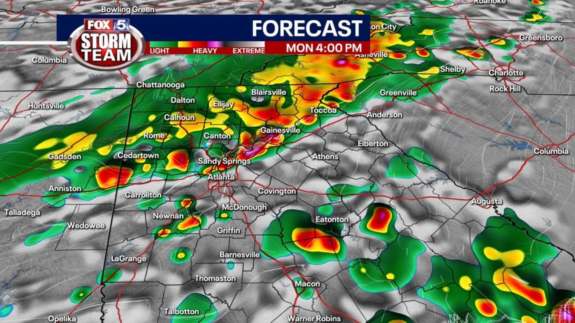
ATLANTA, Ga. (Atlanta News First) – Residents in Georgia can expect a warm and muggy evening with scattered showers and storms. A few storms may produce heavy rain and frequent lightning, while most areas will remain dry, with a 20% chance of precipitation.
Looking ahead, the chance of rain will increase to 40% on Tuesday afternoon as a cool front moves into northern Georgia. The highest likelihood for rain is expected after 2 p.m., continuing into the early evening hours. Meteorologists have declared First Alert Weather Days from Thursday to Saturday, anticipating higher rain chances and cooler temperatures.
Temperatures are projected to drop into the 80s by Thursday as more rain moves into the region. The oppressive heat will continue on Tuesday with temperatures reaching the mid-90s. Without a noticeable sea breeze, the heat index could make it feel like 105 degrees.
In Augusta, Ga., weak cool fronts are forecasted to bring scattered storms on Tuesday while the morning will remain dry. Highs in the upper 80s will feel more like mid-90s due to humidity. A typical summer day is expected on Wednesday with highs near 90 and only isolated storms.
As Hurricane Erin, now a Category 4 storm with maximum winds of 140 mph, moves along the Southeast coast, residents are advised of possible dangerous surf and rip currents along the coastlines of Carolina, Georgia, and Florida.
In Myrtle Beach, SC, mostly dry conditions are anticipated this weekend. Tonight’s weather is perfect for grilling, with temperatures in the 80s and clear skies. Horry County students will return to school with mostly sunny weather and temperatures in the 70s.


