News
Tropical Storm Erin Intensifies, Threatens Hurricane Status This Weekend
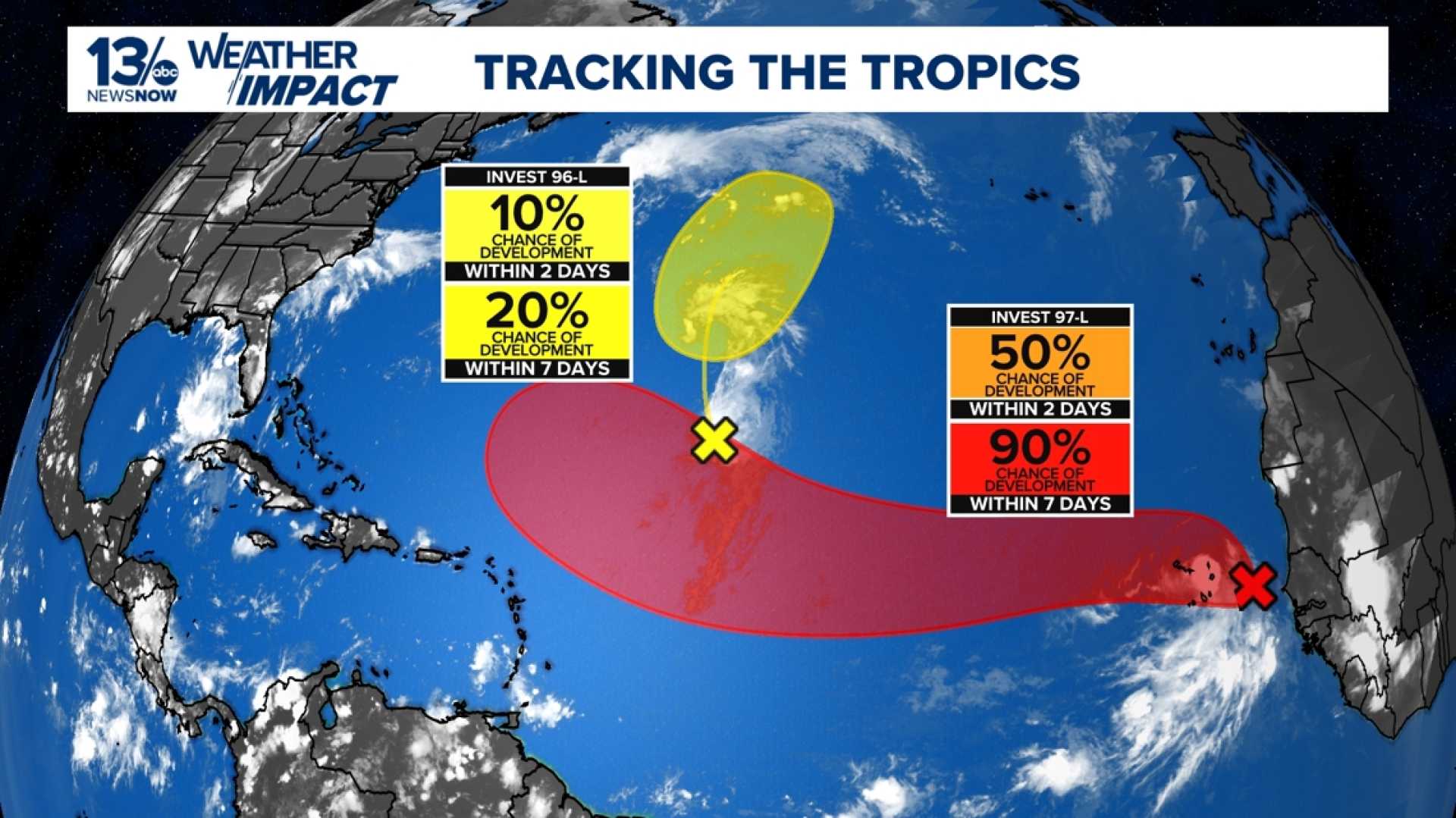
MIAMI, FL – Tropical Storm Erin is rapidly gaining strength over the Atlantic Ocean and is forecasted to become the first major hurricane of the 2025 season by this weekend. The storm, which originated from a tropical wave near Africa, was measured at 45 mph sustained winds as of Wednesday morning and is moving west at 20 mph.
Experts predict Erin could reach Category 3 hurricane status, with winds potentially exceeding 111 mph. Forecasts indicate the storm may take a northwest turn, passing by Puerto Rico and the U.S. Virgin Islands, which raises concerns for residents in these areas.
The National Hurricane Center (NHC) emphasized the significance of monitoring the storm’s trajectory closely, as initial projections suggest it will likely stay north of the Caribbean Islands. However, dangerous surf and rip currents are expected along the East Coast due to its movement.
The NHC highlighted that Erin has developed more organized cloud patterns and tropical characteristics over warmer ocean waters, which could fuel rapid intensification. Meteorologist Dave Osterberg pointed out that while Erin is currently battling some Saharan dust that could limit development, the overall conditions remain favorable for strengthening.
As Erin tracks across the Atlantic, officials are urging coastal residents, especially in vulnerable areas, to review their preparedness plans in anticipation of possible impacts. The storm’s potential to generate heavy rainfall and gusty winds poses risks for flash flooding, high surf, and other hazardous conditions.
Erin has already caused deadly flooding in the Cabo Verde Islands, where reports of at least seven fatalities were confirmed due to the storm’s initial impact. This underscores the storm’s potential threat as it continues its development.
While no watches or warnings are currently in effect for the U.S., the NHC reminds everyone to stay informed. As hurricane season reaches its peak, the need for vigilance and early preparation remains critical.
“Now is the time to start thinking about getting some supplies ready,” urged Robbie Berg, a warning coordination meteorologist with the NHC. He added that the next few days will be crucial in determining Erin’s eventual path and intensity.


