News
Severe Thunderstorm Watch Issued for Chicago Area as Heat Index Rises
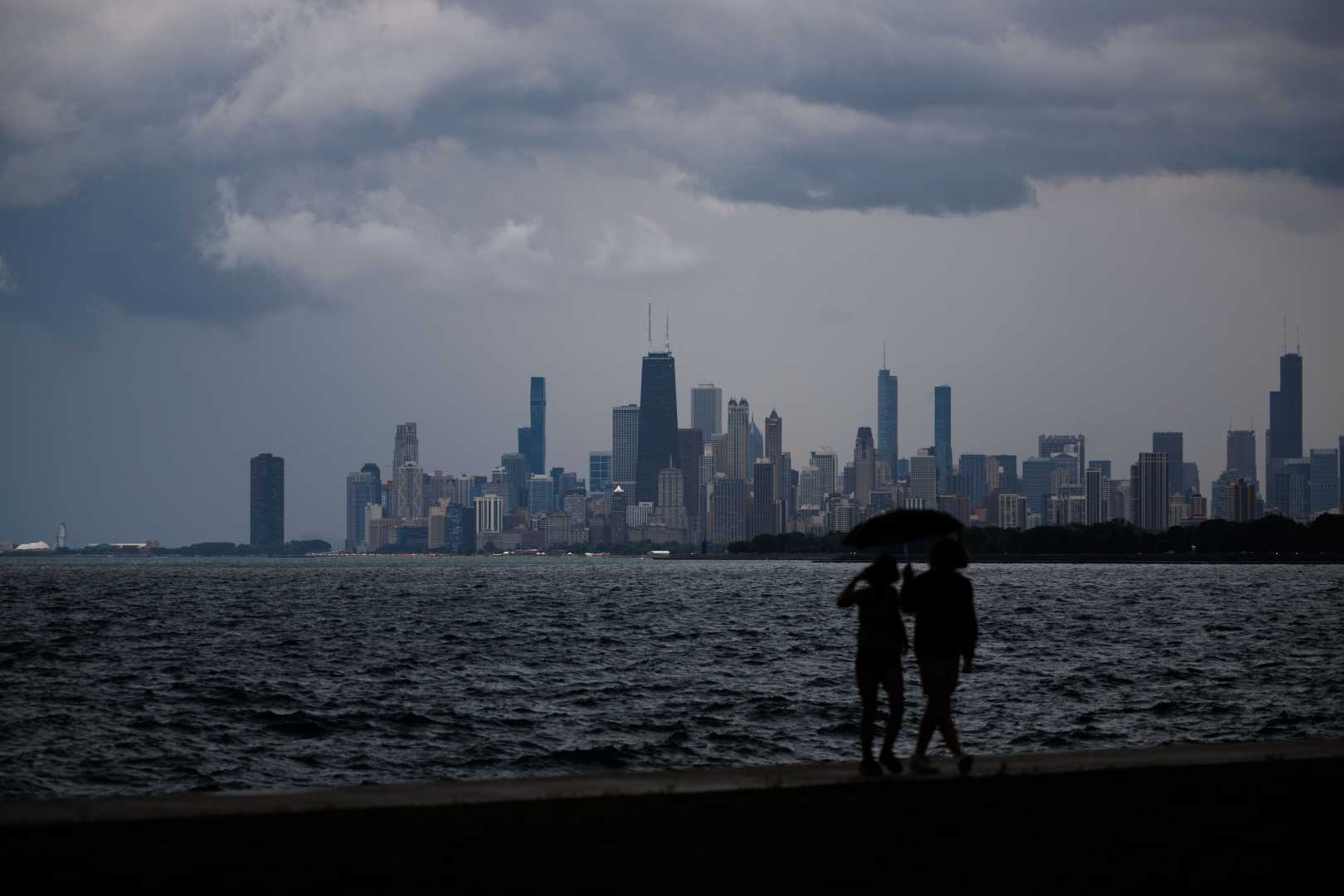
CHICAGO, Illinois – A Severe Thunderstorm Watch is in effect for several counties in the Chicago area until 7 p.m. on August 16, 2025, according to the National Weather Service (NWS).
Warnings have been issued for Cook, DeKalb, DuPage, Kane, Kendall, Lake, McHenry, and Will counties. Meteorologists predict thunderstorms will bring damaging winds and heavy rain to the region.
Live updates from NWS indicate multiple Severe Thunderstorm Warnings already in effect, including areas like Gary, Indiana, and various suburbs in Illinois. Latest updates show warnings for areas including Aurora, Schaumburg, and Elgin.
Temperatures in the Chicago area are soaring into the 90s today, but the humidity pushes the “feels like” temperature even higher, reaching up to 110 degrees in some southern suburbs. There is an Elevated Excessive Heat Risk, particularly south of Interstate 80, the NWS warned.
In the afternoon, strong storms are expected to roll in from the north. These storms may produce wind gusts of 65-70 mph. While some areas may experience localized flooding, widespread flash flooding is not anticipated.
By early Sunday, temperatures should drop into the low 80s, providing some relief. However, another wave of heat and a chance of showers will return on Monday.
Additionally, the Woodstock Fire Department reported downed wires from the severe weather earlier today. Motorists are urged to avoid flooded roadways and stay updated through reliable weather sources like NWS.
As forecasters monitor the ongoing storms, updates will be broadcasted regularly. Residents are advised to prepare for possible hazardous conditions ahead.


