News
Flooding Threats Loom as Storms Hit Mid-Atlantic and Northeast
NEW YORK, NY — A severe weather forecast warns of heavy rain and thunderstorms moving through the Mid-Atlantic and Northeast on Thursday afternoon. This weather event poses a significant risk of torrential rainfall and flash flooding along the busy Interstate 95 corridor.
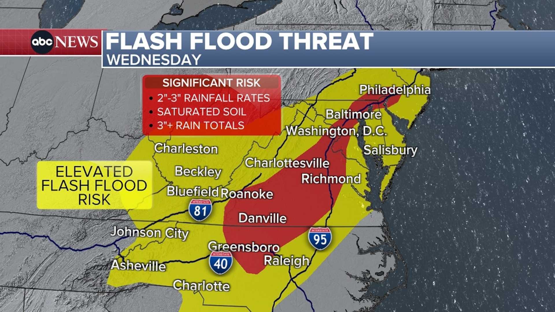
The storms are expected to develop in the afternoon and continue into the evening, potentially dropping several inches of rain in a short period. The Weather Prediction Center has issued a Level 3 of 4 risk for flooding rain from Washington, D.C., to New York City, and parts of Connecticut.
This alert indicates that numerous flash floods are likely, particularly threatening lives and property in urban areas like Philadelphia and Baltimore. Other regions, from Virginia Beach to southern New England, face a Level 2 of 4 flash flood risk.
Travel disruptions are likely as the heaviest rain may coincide with the evening commute. Drivers are advised to avoid flooded roads and follow detours. Additionally, subway systems could also experience serious flooding as rainwater floods platforms and cars.
Forecast models suggest that some areas could receive up to 8 inches of rain, with the possibility of storms training over the same locations, exacerbating flooding risks. A cold front is expected to trigger this severe weather, which is particularly concerning as it follows a summer filled with heavy rains.
“This type of setup has the potential for rapid rises on small streams and dangerous flooding in city streets,” the Weather Prediction Center reported. Residents should ensure they have reliable ways to receive weather warnings throughout the day.
Flash flooding is most common in the summer months, as warmer air can hold more moisture. Moreover, climate change has contributed to increased rainfall rates in many U.S. cities since 1970. The Mid-Atlantic and Northeast have already experienced above-normal rainfall this summer, particularly in eastern Pennsylvania and northern Maryland, leaving soils saturated.
Flood watches are currently in effect for Washington, D.C., Baltimore, Philadelphia, and New York City, with alerts set to remain active through Friday morning. This summer, New Jersey has faced multiple flooding events, and the risks extend southward into the Carolinas by Friday.
Officials urge the public to be cautious, especially at night when floodwaters can be harder to see. “If you encounter a flooded roadway, turn around,” urged the National Weather Service. “It only takes six inches of fast-moving water to knock over an adult and 12 inches to sweep away most vehicles.”
Earlier this month, heavy rains led to a flash flood emergency in Washington, D.C. on July 19. Rainfalls of 1 to 2 inches in just 30 minutes forced numerous rescues in Virginia and Maryland.
In a related note, the Western U.S. is also facing severe weather, with an extreme heat warning currently in place. In Arizona, cities like Phoenix and Tucson are bracing for temperatures between 105 and 114 degrees.


