News
Severe Thunderstorms Hit Phoenix Area Over Labor Day Weekend
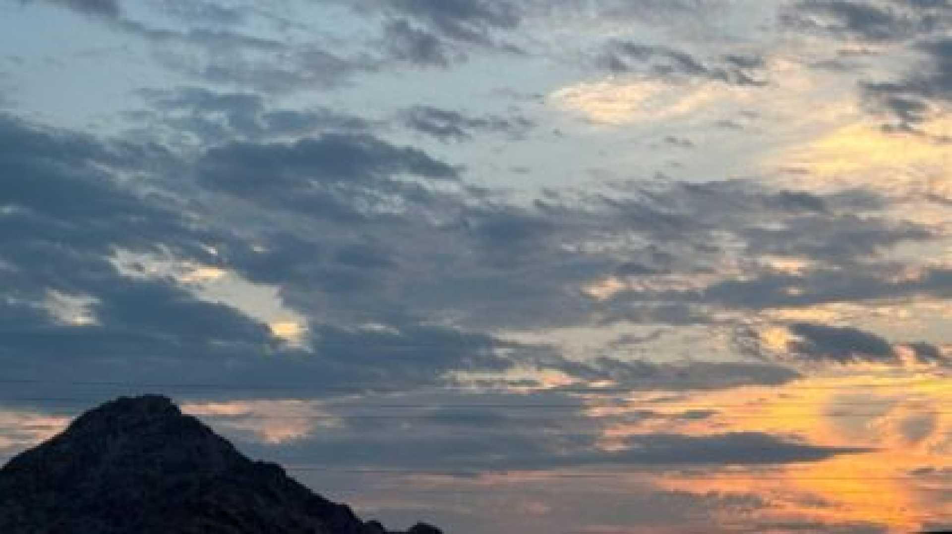
PHOENIX, Arizona — Severe thunderstorms rolled through the Phoenix area on Monday evening, bringing strong winds, dust, and scattered rainfall. Winds reached up to 60 mph, prompting warnings from the National Weather Service (NWS).
Dust was reported on Loop 101 in Scottsdale starting around 5:15 p.m., leading to a dust storm warning until 6:30 p.m. The affected areas included Interstate 10 near Phoenix and Mesa, as well as Casa Grande.
As the storms approached, a severe thunderstorm warning was issued for multiple cities, including Phoenix, Scottsdale, and Paradise Valley, lasting until 7 p.m. Gusty winds and rain had begun to impact the Valley by early evening. According to the NWS, rain estimates indicated eastern areas of the Valley had a 10-30% chance of precipitation, with some areas even reaching 50%.
At approximately 7:22 p.m., greater Scottsdale reported the highest rainfall with about 0.47 inches near Pinnacle Peak. Other areas recorded 0.43 inches in north Anthem and 0.20 inches at Phoenix’s Gateway Community College. Despite this, cities like Glendale and Buckeye received no measurable rainfall.
For the Southwest, the National Weather Service continued to monitor storm activity. By early evening, the Federal Aviation Administration (FAA) issued a ground stop at Phoenix Sky Harbor Airport, causing departure delays of about 57 minutes due to severe weather affecting visibility and safety.
As of 6 p.m., approximately 1,400 APS customers and 1,200 SRP customers were without power across the Valley. The storm pattern is expected to continue throughout the week, with increased rainfall possibilities and fluctuating temperatures.


