News
Extreme Cold to Hit Midwest and Northeast with Light Snow Expected
CHICAGO, IL — A blast of arctic air has plunged temperatures below zero across the upper Midwest, impacting cities from the heartland to the Northeast. The extreme cold is expected to endure through Friday, with record lows likely to be set.
This week, Aberdeen, South Dakota, tied its daily record low at minus 18 degrees. As of Thursday morning, temperatures in the teens below zero were reported in states including Iowa, Minnesota, South Dakota, and Wisconsin. Wind chills have dropped even lower, with some areas experiencing wind chills in the 20s below zero.
Friday morning could bring additional record lows, affecting places like Chicago, Pittsburgh, and JFK and LaGuardia airports in New York City. The Midwest also anticipates record cold high temperatures, particularly impacting cities like Detroit, Milwaukee, and Roanoke, Virginia.
Afternoon temperatures on Thursday are expected to remain below freezing for millions, as portions of the Midwest experience highs 15 to 25 degrees below average. Even southern regions, such as Oklahoma City, may struggle to reach freezing temperatures.
As the cold front pushes south, lows in the single digits and teens are predicted across the Great Lakes to New England, including the Boston metro area. Subzero temperatures may occur in parts of upstate New York and northern New England.
City lows in New York and Philadelphia may hover near 20 degrees, while farther south, states from northern Texas through Tennessee and Virginia could see close to freezing conditions. Friday afternoon is expected to bring struggles for the Northeast to reach above freezing.
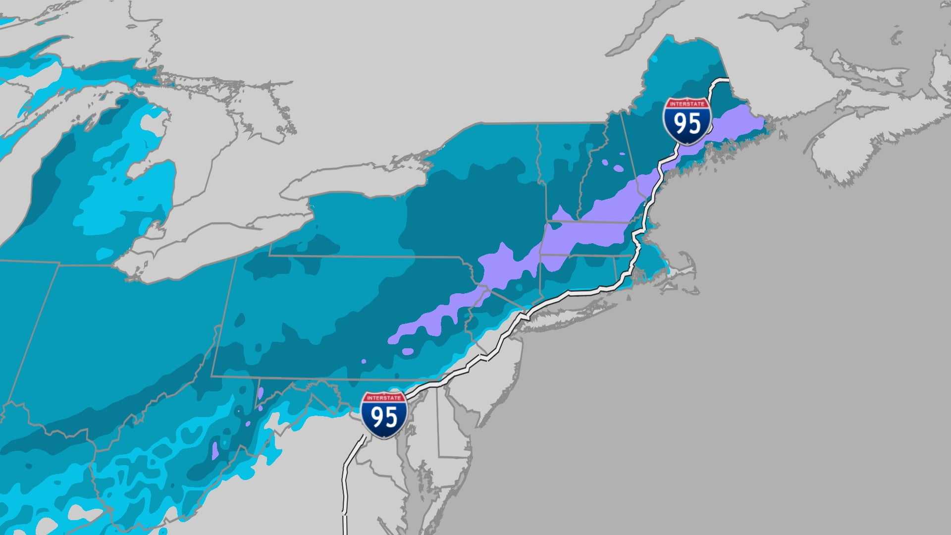
While the Midwest and Plains begin a slow warm-up, the temperatures will remain in the 20s for daytime highs in many areas of the Great Lakes and upper Mississippi Valley. A light snow event may occur in the extreme northern regions ahead of the cold front.
Additionally, parts of the Appalachians and North Carolina could see quick snow bursts Thursday night into Friday, mainly south of Washington, D.C. A second wave of cold air is expected to arrive in the Northern Plains and upper Midwest on Saturday, though this front won’t be as severe.
By Sunday, temperatures in the Dakotas and upper Midwest may struggle to rise above single digits or teens. The colder air will continue moving south and east, with temperatures across the I-95 corridor set to drop significantly from Sunday to Monday. Cities like Philadelphia, New York, and Boston could see highs drop by as much as 10 to 15 degrees.
Breezy conditions along the I-95 corridor will accentuate the chill, with lows Tuesday morning potentially falling into the teens as far south as Baltimore, while subzero temperatures may threaten northern New England again. This extreme cold could lead to record lows in the Northeast.
For residents in the Plains, warmer temperatures are expected early next week, providing a welcome change from the cold, with highs potentially reaching the 50s in Montana and returning to the 60s in Denver.
As winter continues, the colder air across the Midwest and Northeast marks the ongoing struggle against the winter chill.


