News
Severe Storms Hit Philadelphia Region This Weekend
PHILADELPHIA, Pa. — The Philadelphia area faced dangerous storms Saturday afternoon and evening, bringing heavy rain and strong winds.
A severe thunderstorm watch, issued by the National Weather Service, was in effect until 8 p.m. for several counties, including Kent and New Castle in Delaware, and Atlantic, Burlington, Camden, Cumberland, Gloucester, Ocean, and Salem in New Jersey.
As warm, humid air set in, temperatures climbed into the upper 80s before the cold front approached from the west. This front triggered showers and thunderstorms throughout the late afternoon.
The Storm Prediction Center reported a “Slight” risk for severe storms over most of the Philadelphia area. Regions closer to the shore faced a lower, “Marginal” threat, with expectations that stronger storms would weaken as they moved east.
From 2 p.m. onward, the chances for severe storms grew, lasting until around 9 p.m. Officials warned of damaging winds, heavy rainfall, and the possibility of flash flooding, with rainfall totals expected between 1 to 3 inches.
Other concerns included the potential for hail and isolated tornadoes, but straight-line winds posed the greatest threat. Flooding was a significant possibility in areas experiencing heavy precipitation.
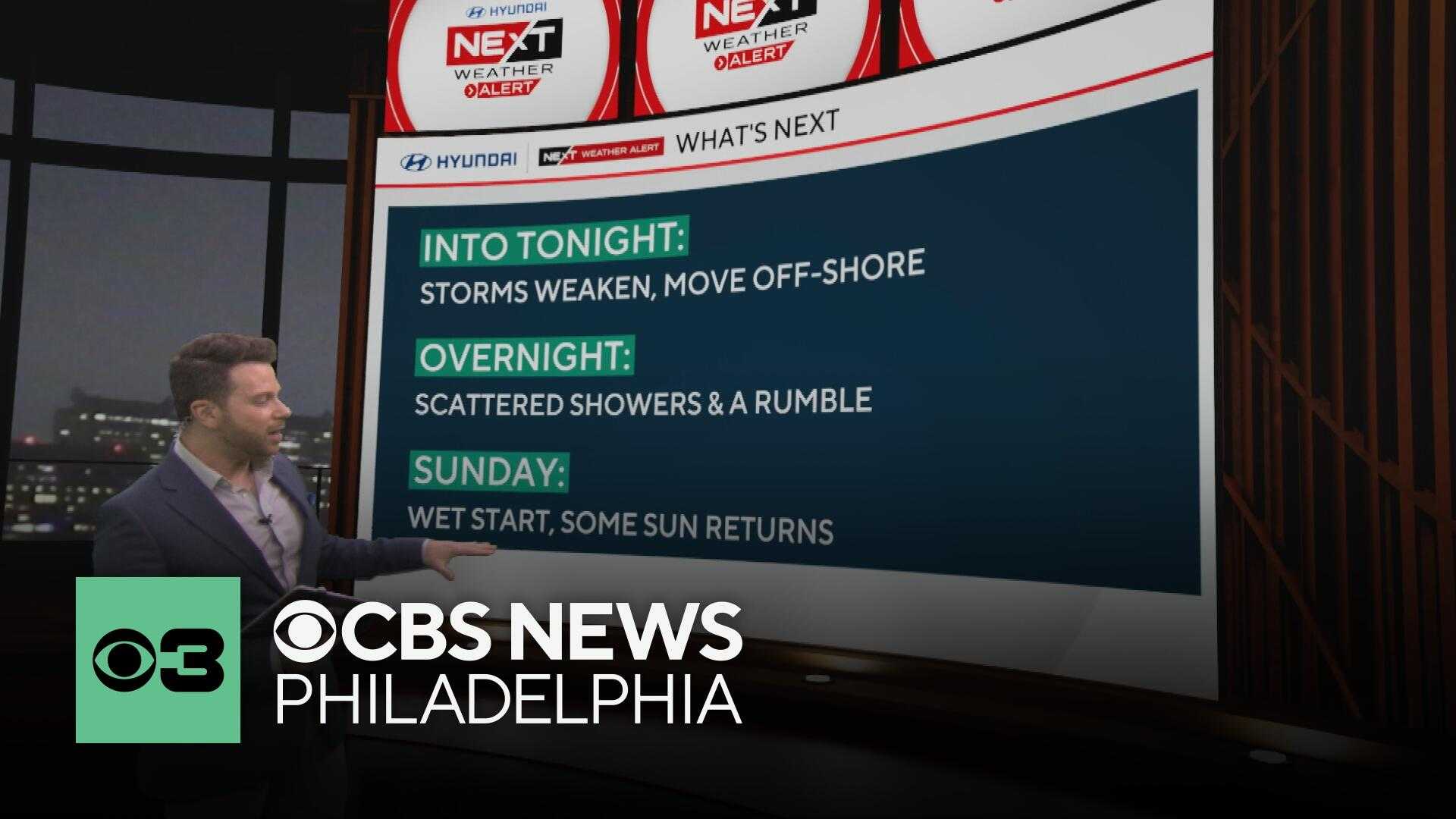
Later in the evening, as the cold front moved offshore, showers could linger but the severe weather risk was set to diminish by 9 or 10 p.m. Following this, rain is expected to taper off well into Sunday morning, with temperatures cooling to the low 60s.
For Sunday, residents can expect a few lingering showers, clearing skies, and temperatures rising into the low to mid-70s as the week progresses.
The forecast for the upcoming week includes sunny skies and temperatures ranging from the mid-70s to low 80s.


