News
Hurricane Erin Triggers Flood Watch and Rip Current Warnings in Savannah
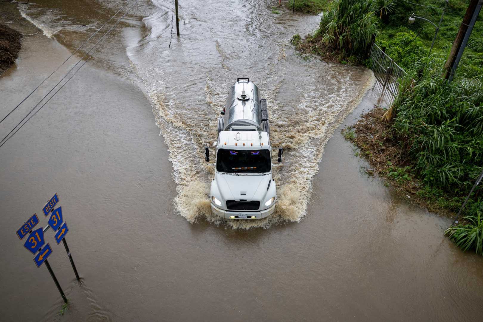
SAVANNAH, Ga. (WTOC) – A Flood Watch is in effect until 2 AM Sunday as Hurricane Erin moves northeast, approximately 500 miles away from the coast of Savannah. The storm has generated significant rainfall, prompting concerns of flash flooding in the region.
A stationary front near Interstate 16 has contributed to high humidity and saturated soils, with moisture levels exceeding 80%. Forecasts predict an additional two to four inches of rain could fall this afternoon, potentially leading to hazardous conditions along I-95, U.S. Highway 17, and U.S. Highway 1.
The area can expect a 50% chance of rain throughout Saturday, with showers and storms likely continuing into the evening. Morning temperatures will start around 73°F, while afternoon highs struggle to reach the mid-80s.
Some areas may experience heavy rainfall and above-average temperatures, possibly reaching highs near 85°F on Sunday, accompanied by a lingering chance of showers.
The weather will shift on Monday as a cold front approaches, leading to drier conditions and lower temperatures. Highs are expected to reach around 90°F with a 30% chance of afternoon rain as the front moves to the coast.
High surf and rip currents pose risks for beachgoers. A High Surf Advisory remains active alongside rip current warnings through Thursday as marine conditions remain dangerous due to Erin’s influence.
The National Weather Service continues to monitor Erin as it travels past North Carolina’s Outer Banks, where it may strengthen slightly before moving further northeast.


